
Cyclonic System Developing South of Japan May Bring Increased Rainfall After August 6: Department of Meteorology
04-Aug-2026.
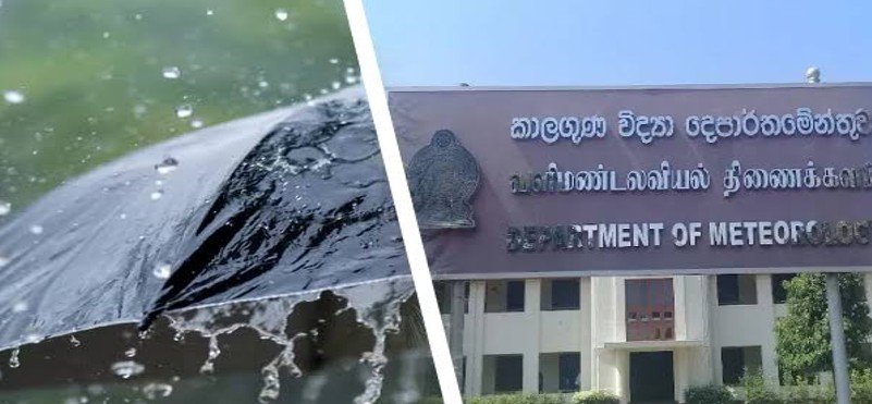
The Department of Meteorology has stated that a cyclonic system is developing over the Pacific Ocean south of Japan, which could lead to a fresh increase in rainfall across Sri Lanka after August 6.
Director General of Meteorology Ajith Wijemanna made this announcement during a media briefing held at the Department of Government Information on August 3, 2026.
He said the prevailing unsettled weather conditions are likely to continue, with heavy rainfall already recorded in the Central Highlands, Ratnapura and Avissawella.
The public has been advised to remain attentive to official weather forecasts and warnings.
Intermittent thundershowers are expected in the Western, Sabaragamuwa and North-Western Provinces, as well as in the Kandy, Nuwara Eliya, Galle and Matara Districts.
Rainfall exceeding 100 mm is likely at isolated locations in Sabaragamuwa Province and the Kandy and Nuwara Eliya Districts. Afternoon or evening thundershowers are also expected in the Uva and Eastern Provinces and the Mullaitivu District.
Strong winds of 40 to 50 kmph may occur over parts of the Northern, Central, Sabaragamuwa and North-Western Provinces, as well as the Trincomalee District.
The Director General further stated that the developing cyclone south of Japan could strengthen rainfall after August 6, particularly over the western slopes of the Central Highlands, the Western and Sabaragamuwa Provinces, and the Kandy and Nuwara Eliya Districts.
He added that stronger winds are also expected, with wet weather likely to continue for several days after August 6.